Geological Map Lausitz-Jizera-Karkonosze, CD
Kód: 25439Související produkty

Detailní popis produktu
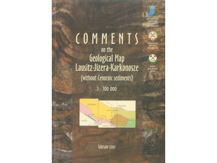
CD-ROM obsahuje geologickou mapu území Lužických hor, Jizerských hor a Krkonoš v měřítku 1:100 000, na níž jsou znázorněny prekambrické, paleozoické a mezozoické horniny a terciérní vulkanity severního okraje Českého masivu, zasahující do oblasti Německa, Polska a České republiky.Geological Map Lausitze-Jizera-Karkonosze 1: 100 000This CD-ROM presents digital geological map Lausitz Jizera Karkonosze in the scale 1: 100 000 icluding the comments. Maps are in ESRI data formats (available in several map projections) and comments are in PDF as well as HTML. The CD-ROM represents an important addition to the already printed map (in the year 2000) and enables an interactive work with maps using GIS tools - view, querry, analysis using ArcView 3.x, or ArcGIS 8.x or freeware ArcExplorer. So this CD address a geologists, natural scientists and people who are interested in border crossing geological informations and data in the border region of Poland, Czech Republic and Saxony. HTML applications and map comments are in English.
Doplňkové parametry
| Kategorie: | Mapy |
|---|---|
| Hmotnost: | 2000 kg |
| Jazyk: | Anglicky |
| Měřítko mapy: | 1 : 100 000 |
| Nakladatel: | Česká geologická služba |
Buďte první, kdo napíše příspěvek k této položce.